Points
This tutorial will guide you on managing your points using the Busable Points module, which is essential for handling route variants.
Updated 2 months ago
This tutorial will guide you on managing your points using the Busable Points module, which is essential for handling route variants.
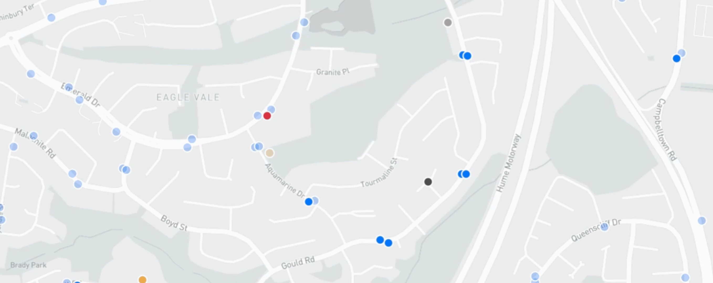
First, navigate to the Planable Points menu item.
Here, you will see a map displaying color-coded points.
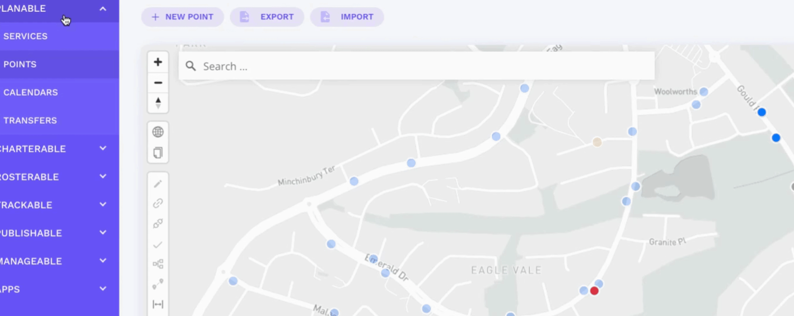
On the map, different colors represent various types of points:
Blue points indicate bus stops.
Light blue points represent bus stops from another government agency system, but not yet utilized in your data set.
Yellow dots signify school points.
Light yellow points indicate school points that are in the government database but not yet used in your data region.
Dark grey points represent depot locations.
Light grey points are non-public points such as bus layover points.
Red points indicate unverified points that need review or updates through manual review.
This video introduces the interface for step-by-step instructions on creating or editing points.
For further assistance, you can check the help articles available in this section.